
Digital terrain
TacTerra
PlanRehearseDebrief
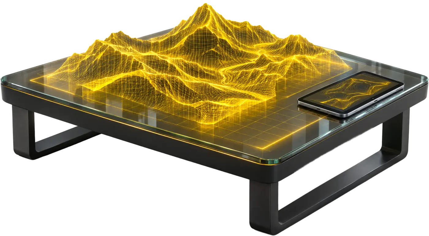
Raw GIS to a walkable digital twin in under four hours, for terrain intelligence, mission planning, rehearsal and debrief.
- GIS to twin < 4 h
- 60–70 users
- AR + VR
- Air-gapped
- Offline AI
Tech specs
| Specifications | |
|---|---|
| GIS to walkable twin | < 4 h for a 50 × 50 km sector |
| Pipeline | Ingest 20–40 min, reconstruct 90–150 min, package 30–60 min |
| Fidelity modes | Low-poly operational, high-detail tactical, hybrid |
| Concurrent users | 60–70 AR / VR |
| Server tick | 30 Hz authoritative |
| Domains | Infantry, armoured, artillery, air defence, special forces, JTAC |
| AI | Offline LLM tactical assistant; mission, terrain and AAR agents |
| Security | 100% air-gapped; segmented network |
| Editions | 1 DTIS terrain · 2 Simulation · 3 Cognitive · 4 Orchestrator |
TACTERRA
Tactical terrain intelligence and rehearsal platform
- GIS to twin < 4 h
- 60–70 users
- AR + VR
- Air-gapped
- Offline AI
Features
- GIS to twin in < 4 h
Ingest, reconstruct and package a 50 × 50 km sector.
- Three fidelity modes
Low-poly operational, high-detail tactical, or hybrid.
- AR table to VR
Plan on a holographic sand table, then step into the terrain.
- 60–70 concurrent users
Commanders, trainees, instructors and observers in one session.
- Offline AI assistant
On-premise models for planning advice and after-action analysis.
- 100% air-gapped
Segmented network; no internet dependency.
More in Simulation & Training
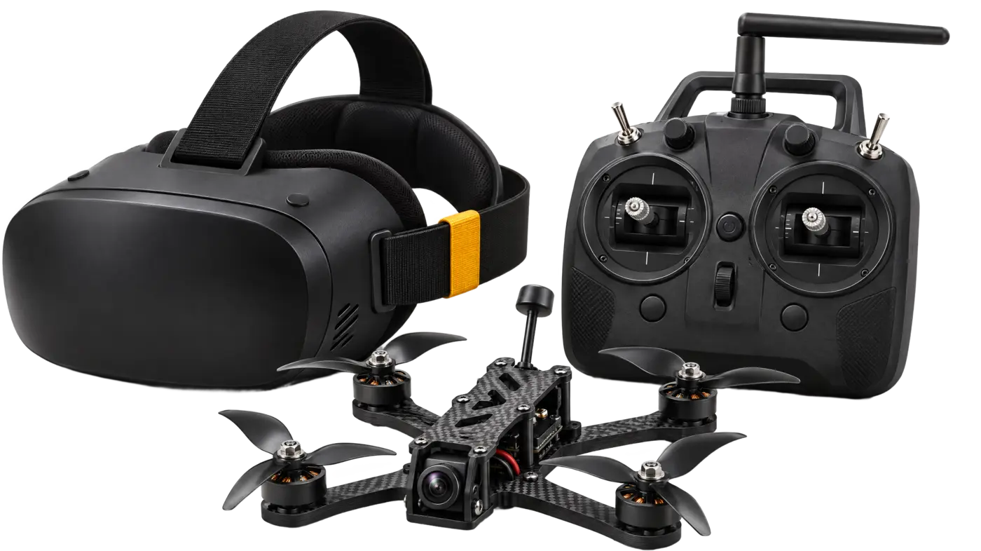
- Real flight physics
- RadioMaster support
- Desktop + VR
- Pilot rating
DroneSim · Physics-driven FPV drone simulator
A physics-driven FPV drone simulator for training, tactics and mastery: open-world flight, night infiltration, dogfights and strike missions on one true-to-life flight model.
View product →- Marksmanship
- Shoot / no-shoot
- Low-light
- Shot analytics
Weapon Training Simulator · Small-arms marksmanship and judgemental trainer
A small-arms trainer for marksmanship, judgement and tactical drills, with shot analytics and after-action review.
View product →- Build your field
- Set the enemy
- Desktop + VR
- Score it
Combat Simulation · Live combat training simulator
Live combat training scenarios with precision and accuracy scoring: build your field, set the enemy, run the drill, score it.
View product →- 6-DOF motion
- VR cockpit
- Real controls
- Hardware E-stop
Heavy Vehicle Driver Simulator · 6-DOF motion-platform driving simulator
A heavy-vehicle driver simulator on a 6-DOF motion platform with real controls and a VR cockpit.
View product →Talk to our team
Book a demo
Tell us your requirement. We reply within one business day with a budgetary quote, a demo slot or the documents your tender needs.
- 1 dayResponse time
- GeMTender support