A drone that flies well on the plains can struggle at a mountain post. Above 4,000 m the air is thinner, batteries are colder and winds are stronger, so the figures on a spec sheet need a closer look. This guide sets out what to check before you buy.
Why altitude changes everything
At 5,000 m the air is roughly 40% less dense than at sea level. Propellers and wings make less lift from every rotation, so motors work harder and endurance drops. Cold also cuts the usable capacity of lithium batteries, and mountain winds are stronger and gustier.
The result: a drone rated for a high ceiling may still be unable to take off from a high post with a full payload. Always check both.
Check these six numbers
| Figure | Why it matters | Example: Hybrid VTOL |
|---|---|---|
| Launch altitude | Where it can take off with payload, not just how high it can climb | 4,500–5,000 m ASL |
| Ceiling | The highest it can operate | 6,000–7,000 m ASL |
| Endurance at full payload | Time on task with the sensors you need | 60–120+ min |
| Wind rating | Mountain winds are strong and gusty | 15 m/s, gusts 20 m/s |
| Temperature range | Cold starts and battery performance | −30 °C to +25 °C |
| Link range | Distance from the post to the area you watch | 5–30 km VLOS / BVLOS |
VTOL, fixed-wing or multicopter?
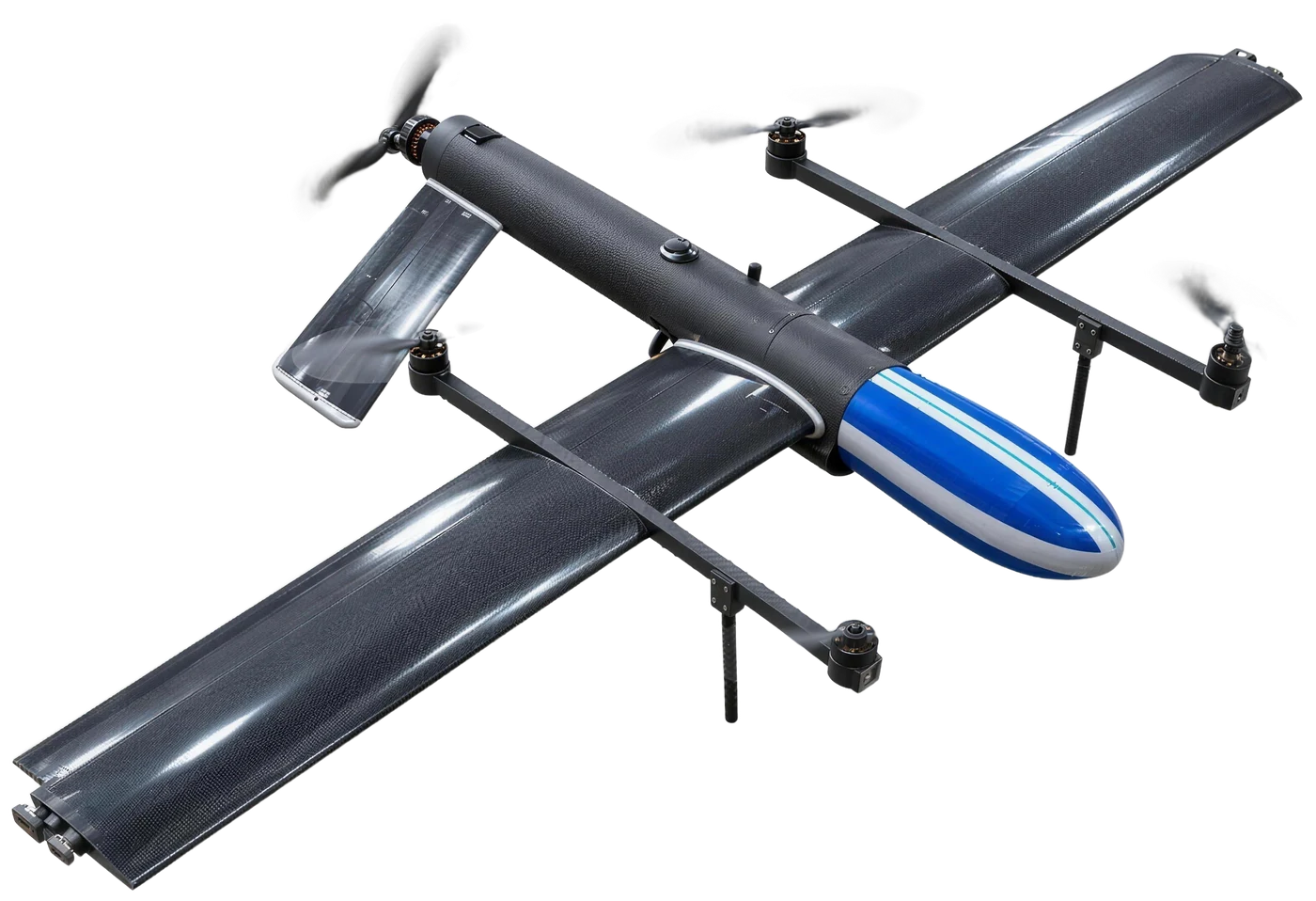
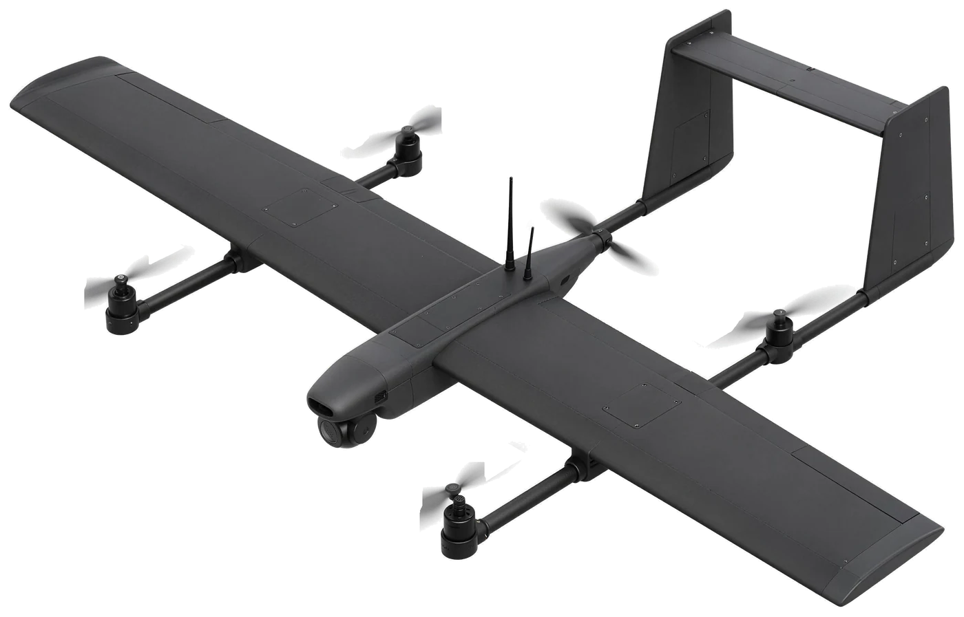
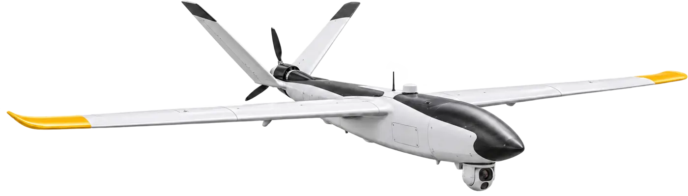
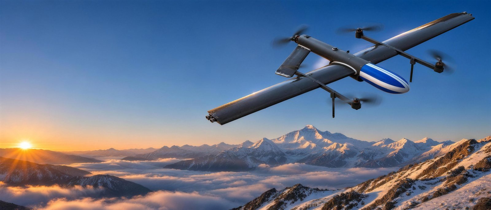
Mountain posts rarely have room for a runway, and catapult launches are hard on steep ground. A hybrid VTOL takes off vertically from a small pad, then flies on its wing for fixed-wing endurance: usually the best fit for persistent observation from a post.
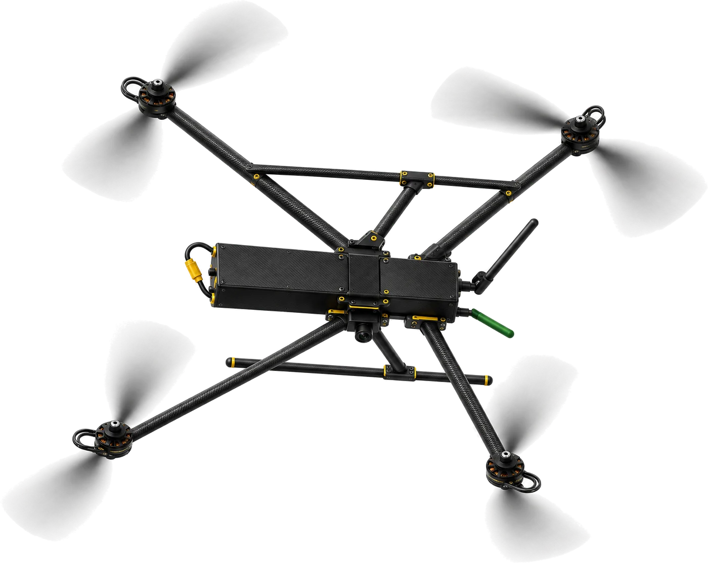
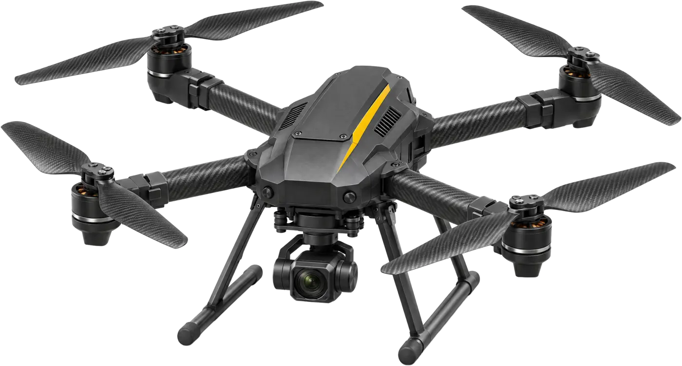
A multicopter is quicker to launch and can hover over one point, but flies for less time. It suits short, close-range checks around the post. A fixed-wing gives the longest endurance but needs space to launch and recover.
See VTOL vs fixed-wing vs multicopter for a full comparison.
Sensors that matter in the mountains
- Optical zoom, not digital: long slant ranges across valleys need real magnification (the Hybrid VTOL carries a 4K camera with 30× optical zoom).
- Thermal imaging for night and for spotting movement against cold rock and snow (640 × 512 LWIR on the Hybrid VTOL).
- Laser range finder to put an exact distance and position on what you see (up to 5 km on the Hybrid VTOL).
Safety and recovery
Losing an aircraft in a ravine is costly. Return-to-home, obstacle sensing and parachute recovery protect the airframe and the payload when something goes wrong.
Questions to put in your QR
- Maximum take-off altitude with full payload, and endurance at that altitude
- Minimum operating temperature, and how batteries are kept warm
- Wind and gust limits for take-off, flight and landing
- Sensors: optical zoom, thermal resolution, laser range finder range
- GNSS constellations, including NavIC, and the GNSS-denied backup
- Link range, encryption and anti-jam method
- Recovery and safety features
- Training, spares and support at the post