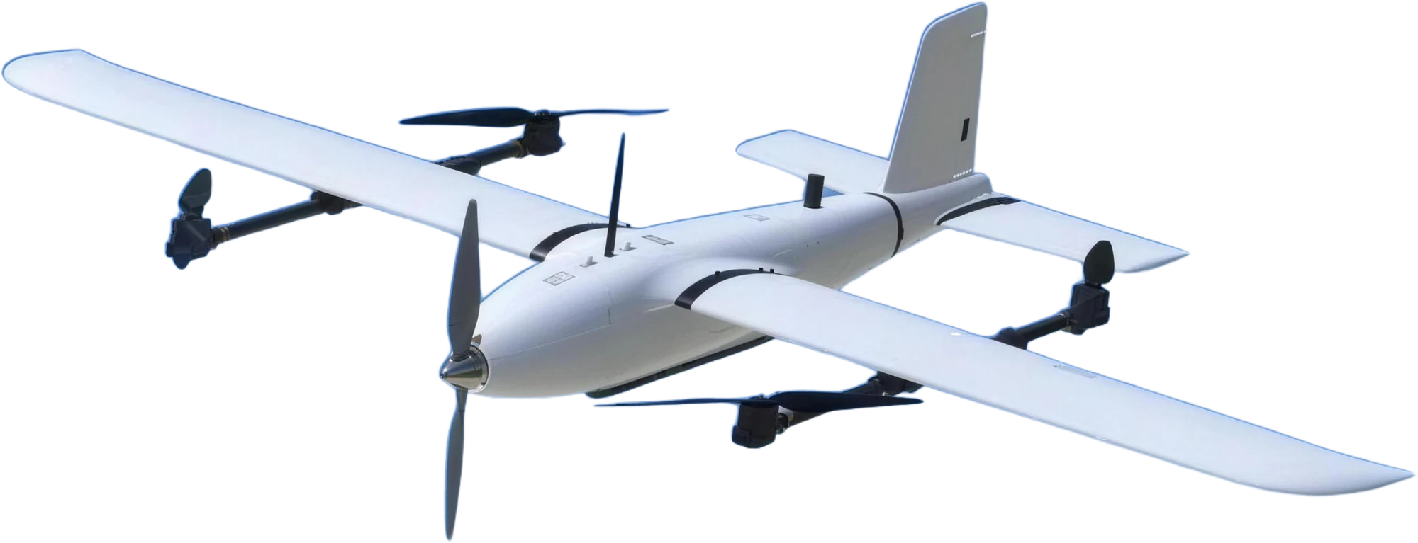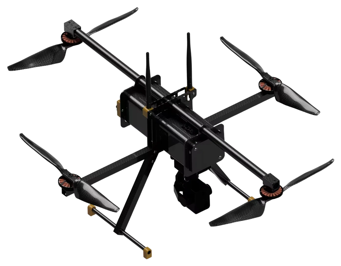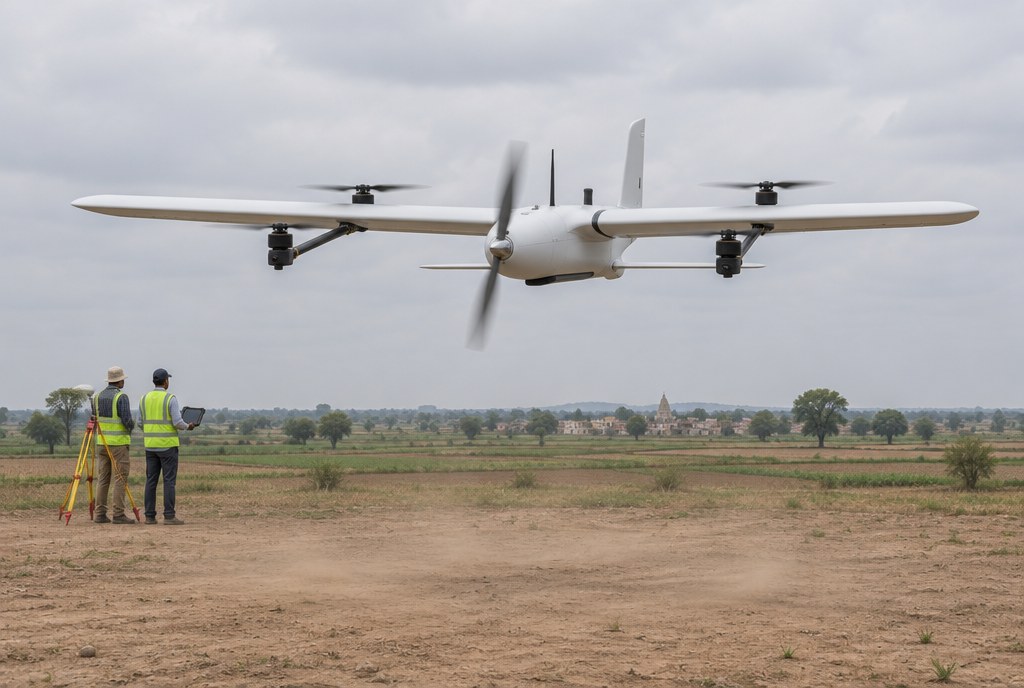
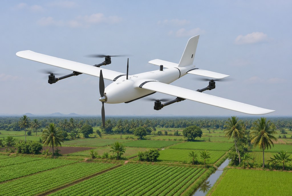
Farms are large, and conditions change week by week. Walking fields to find stress, gaps or drainage problems takes days. A fixed-wing VTOL flies a whole holding in one sortie and returns images sharp enough to see rows and field edges.
What farm mapping needs
- Coverage. Up to 112 minutes and 127 km in one flight, tested at 500 m with a 600 g payload.
- Detail. A 61 MP camera at under 1 cm per pixel shows crop rows, gaps and field edges.
- Repeatability. Autonomous waypoint missions let you fly the same lines each week and compare maps over a season.
- Field-friendly. Vertical launch from a field edge, tool-free assembly and a hard-shell case for transport.
- Wind tolerance. Class 5 wind, which matters on open farmland.
A typical season
- Plan the holding once and save the mission.
- Fly early in the day when light is even, repeating the same mission through the season.
- Process the images into an orthomosaic and compare dates.
- Walk the problem areas the maps show, instead of walking every field.
What this aircraft is not
The SV-2.4 is a survey and surveillance aircraft. It maps and watches; it does not spray or spread. Its imaging is a standard RGB camera, so if you need other sensor types, ask us about the payload options. Small plots are often quicker with a multicopter.
Who it suits
The SV-2.4 is built for work like this. It suits:
- State agriculture and horticulture departments and Krishi Vigyan Kendras.
- Agricultural universities and research institutes that run field trials.
- Agri-tech firms, farmer-producer organisations and cooperatives.
- Plantation, sugar and large-farm operators.
Buying it: manufacturer details, GeM and tenders
Star INXS designs and builds the SV-2.4 in India and is certified to five ISO management-system standards. You can buy through GeM, an open or limited tender, a defence portal or a direct purchase order.
Our Tender & GeM desk shares OEM authorisations, technical compliance statements and bid documents written against your specification.
- Send the requirement. Attach your tender specification or RFP to the quote request and we respond with a technical compliance statement.
- Keep a one-page sheet. Download the PDF sheet for this use case to attach to your internal note.