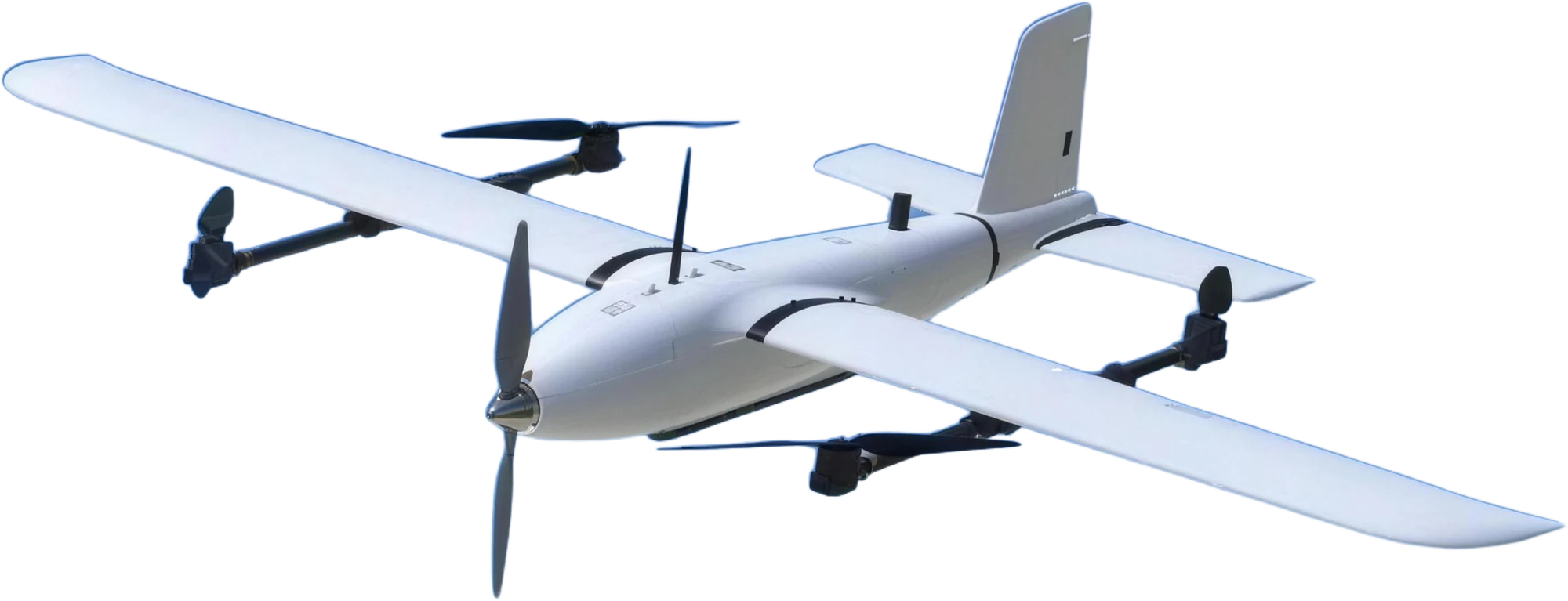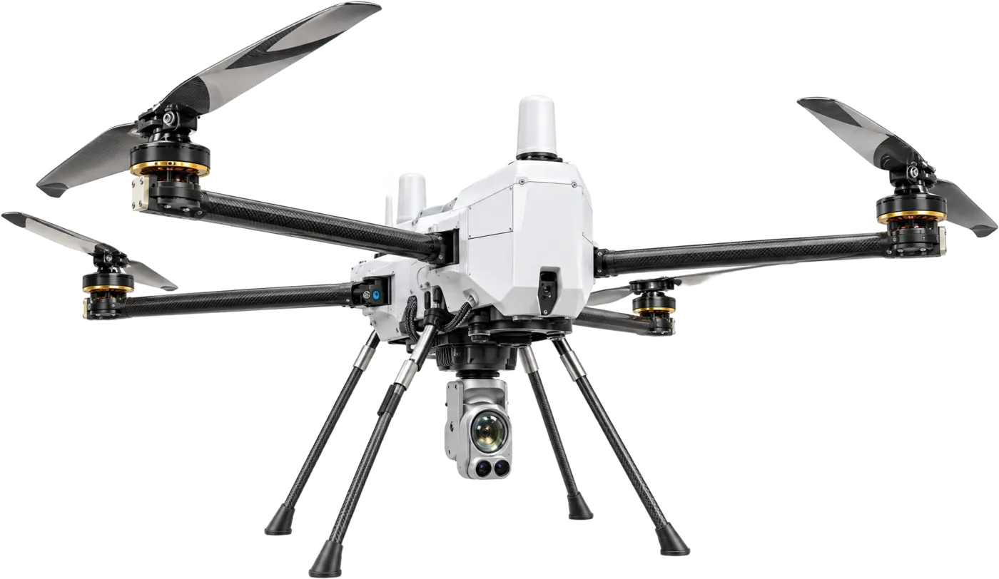
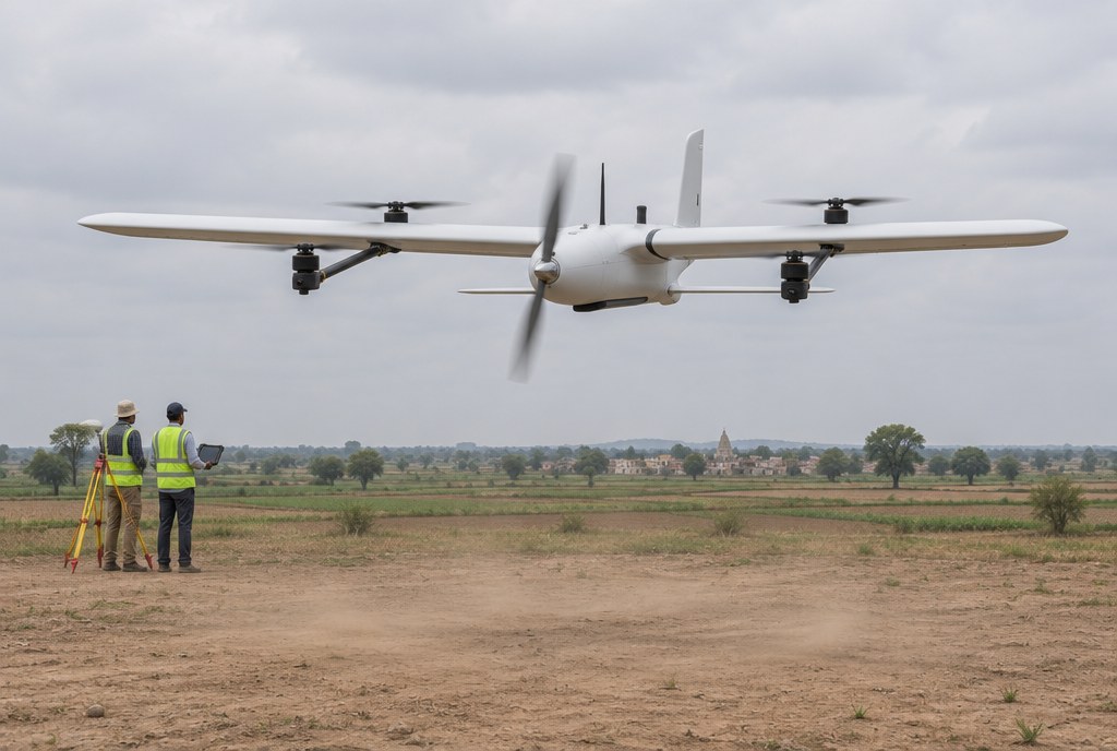
Surveying land by foot or total station is slow, and a small multicopter covers little ground per battery. A fixed-wing VTOL combines both: it takes off and lands without a runway, then flies efficiently on its wing to cover a large site in one sortie.
What a survey flight needs
A useful map depends on a sharp camera, a steady flight path, precise positioning and enough endurance to finish before the light changes. The SV-2.4 is built around those four things.
- Sharp images. A 61 MP full-frame camera gives under 1 cm per pixel ground resolution for orthomosaics.
- A steady path. Autonomous waypoint navigation and mission planning and execution fly the planned lines.
- Precise position. RTK GNSS positioning.
- Endurance. 82 to 112 minutes and 95 to 127 km, tested at 500 m with a 600 g payload.
- No runway. Four lift rotors take off and land vertically, so a small clearing is enough.
Figures to check
| Figure | Why it matters | SV-2.4 |
|---|---|---|
| Camera | Sets the detail in the map | Sony ILX-LR1, 61 MP full-frame, 21 / 24 / 35 mm lenses |
| Ground resolution | Parcel edges, kerbs, stockpiles | Under 1 cm per pixel |
| Positioning | Accuracy of the final map | RTK GNSS |
| Endurance and range | Area covered per sortie | 82–112 min; 95–127 km |
| Service ceiling | Hills and high plateaus | 4,000 m |
| Wind | Survey days are rarely calm | Class 5; cruise 17–22 m/s |
| Transport | Remote sites | Tool-free assembly; hard-shell case 1.25 × 0.34 × 0.49 m |
How a survey is flown
- Plan the mission on the ground controller: boundary, lines, overlap and height.
- Assemble the aircraft without tools and check the camera.
- Launch. Take-off, transition to wing-borne flight and the mission run automatically.
- Return and land. Return-to-launch and automatic VTOL landing bring the aircraft back to the pad.
- Process. Load the images into photogrammetry software to produce the orthomosaic and terrain models.
Who it suits
The SV-2.4 is built for work like this. It suits:
- State land-records, revenue and survey departments that map holdings and boundaries.
- Mining, irrigation, forest and municipal bodies, including smart-city projects.
- Army and border forces that need terrain and border mapping over wide areas.
- Private surveyors and mapping firms that sell survey data.
Buying it: manufacturer details, GeM and tenders
Star INXS designs and builds the SV-2.4 in India and is certified to five ISO management-system standards. You can buy through GeM, an open or limited tender, a defence portal or a direct purchase order.
Our Tender & GeM desk shares OEM authorisations, technical compliance statements and bid documents written against your specification.
- Send the requirement. Attach your tender specification or RFP to the quote request and we respond with a technical compliance statement.
- Keep a one-page sheet. Download the PDF sheet for this use case to attach to your internal note.