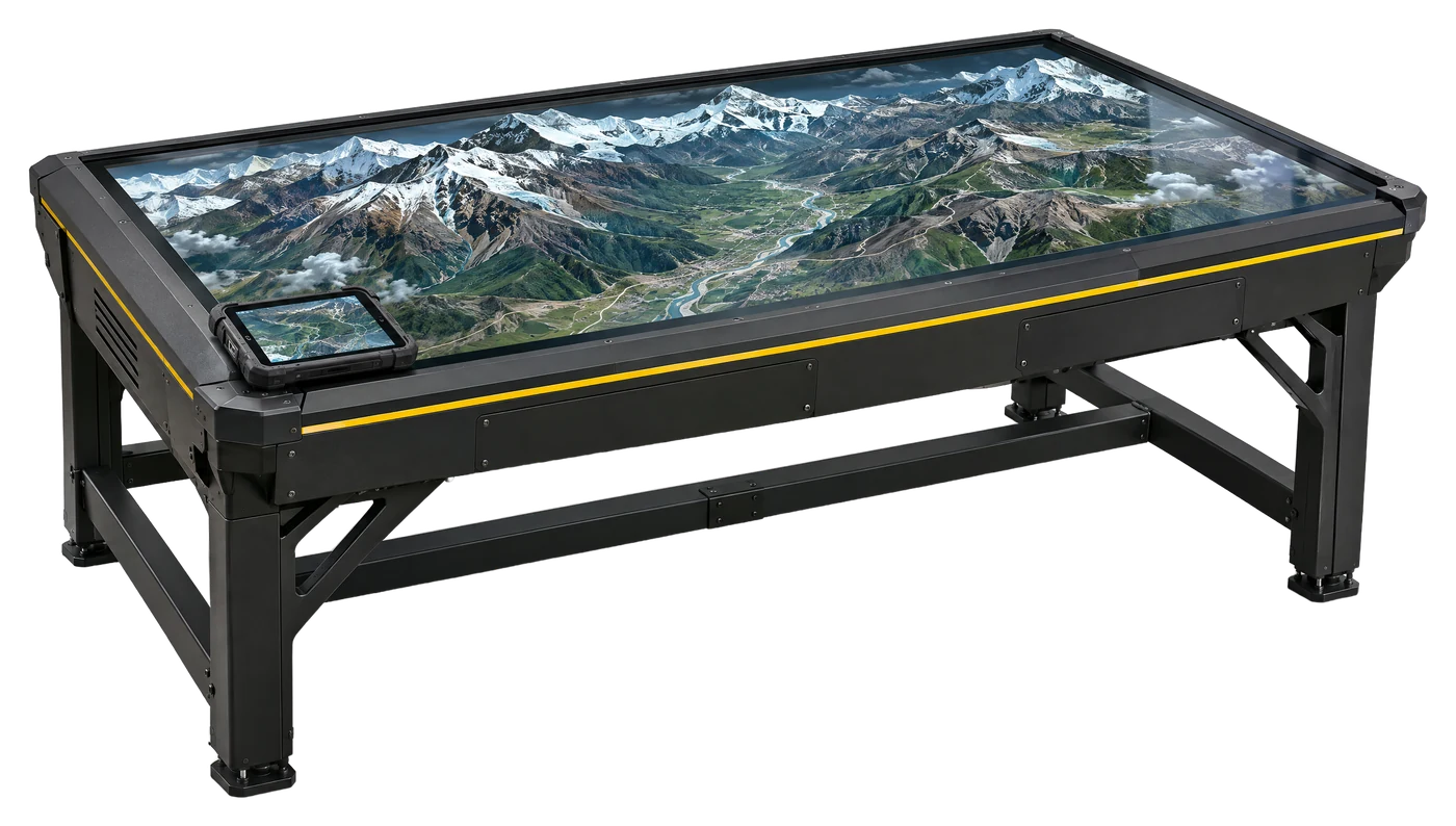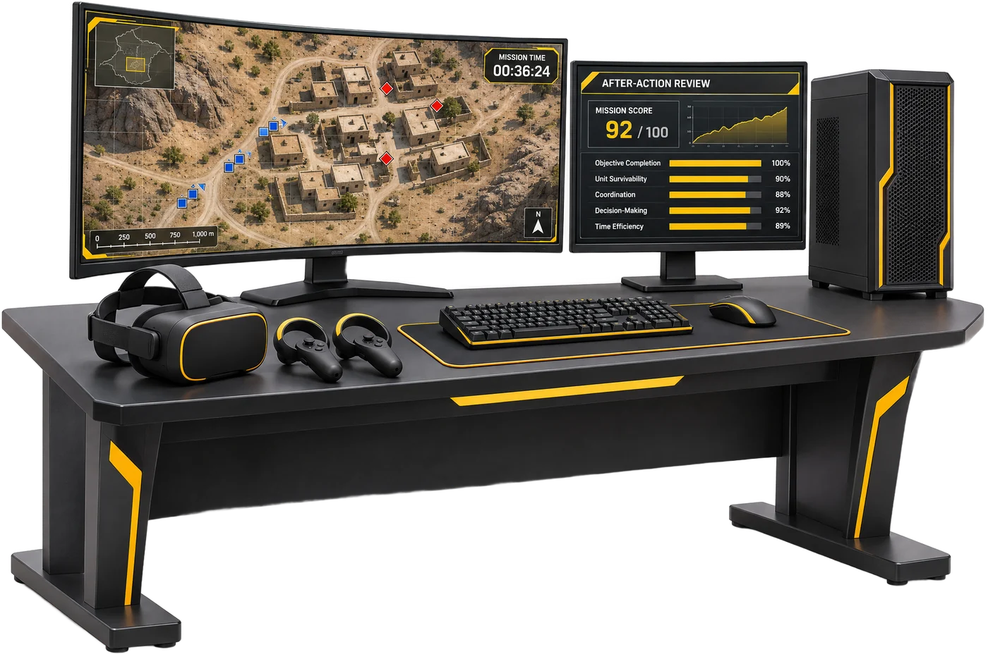
Maps and sand models have long been how teams study ground before they move. A digital terrain platform builds the same ground in 3D from GIS data, puts it on a holographic table for planning, and lets a whole team step inside it in VR. This explainer covers how it works and what matters when you buy one.
What is a digital terrain twin?
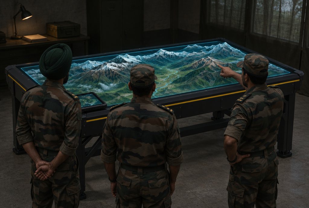
A digital terrain twin is a 3D model of real ground, built from GIS data, that people can study and move through. On TACTERRA, commanders plan on a holographic sand table of the real terrain, then teams step into the same terrain in VR and walk the route before the mission. Afterwards, the session is replayed for the after-action review.
How long does it take to build the terrain?
- Ingest: 20–40 minutes to bring in the raw GIS data.
- Reconstruct: 90–150 minutes to build the 3D terrain.
- Package: 30–60 minutes to prepare it for the AR table and VR.
Together, that is under 4 hours from raw GIS to a walkable twin of a 50 × 50 km sector. Three fidelity modes trade detail against size: low-poly operational, high-detail tactical, or a hybrid of the two.
Sand model, map or digital twin?
| Map and sand model | Digital terrain twin (TACTERRA) | |
|---|---|---|
| Build | By hand | Under 4 h from raw GIS for a 50 × 50 km sector |
| View | Top-down | Top-down on an AR table, or first-person in VR |
| Who takes part | The people around one table | 60–70 concurrent AR and VR users |
| Rehearsal | Talk-through | Walk the route in VR before the mission |
| Debrief | Notes and memory | Replay and analysis with an offline AI assistant |
| Security | Physical control of the model | 100% air-gapped on a segmented network |
Who trains together on it?
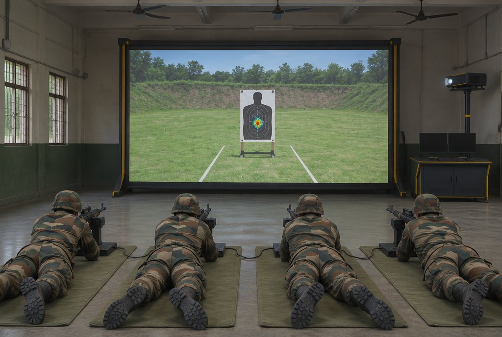
TACTERRA supports infantry, armoured, artillery, air defence, special forces and JTAC. Commanders, trainees, instructors and observers can share one session of 60–70 users on a 30 Hz authoritative server, so joint training happens on the same ground at the same time.
Why does air-gapped operation matter?
Terrain data and mission plans are sensitive. TACTERRA runs 100% air-gapped on a segmented network, with no internet dependency. Its AI tactical assistant runs offline, with mission, terrain and after-action review agents, so planning advice and debrief analysis never leave the room.
Which edition do you need?
| Edition | Covers |
|---|---|
| 1 · DTIS terrain | Digital terrain |
| 2 · Simulation | Adds simulation |
| 3 · Cognitive | Adds the cognitive AI assistant |
| 4 · Orchestrator | Adds multi-agent mission, terrain and AAR orchestration |
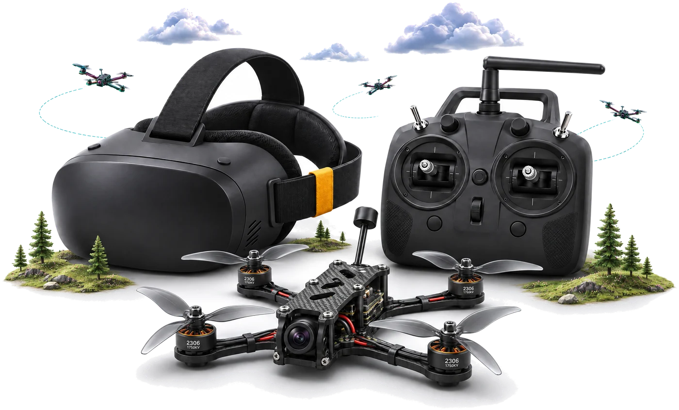
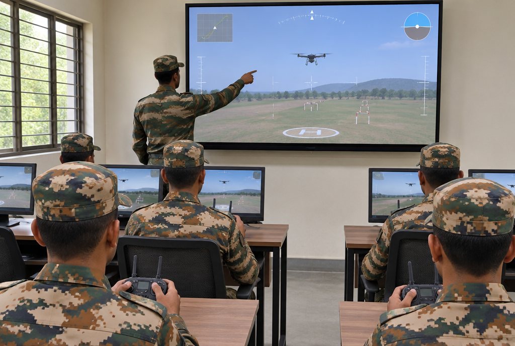
A training centre lab can include a mission-planning room with a TACTERRA terrain table alongside drone simulators.