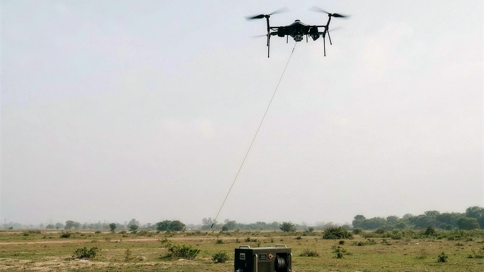
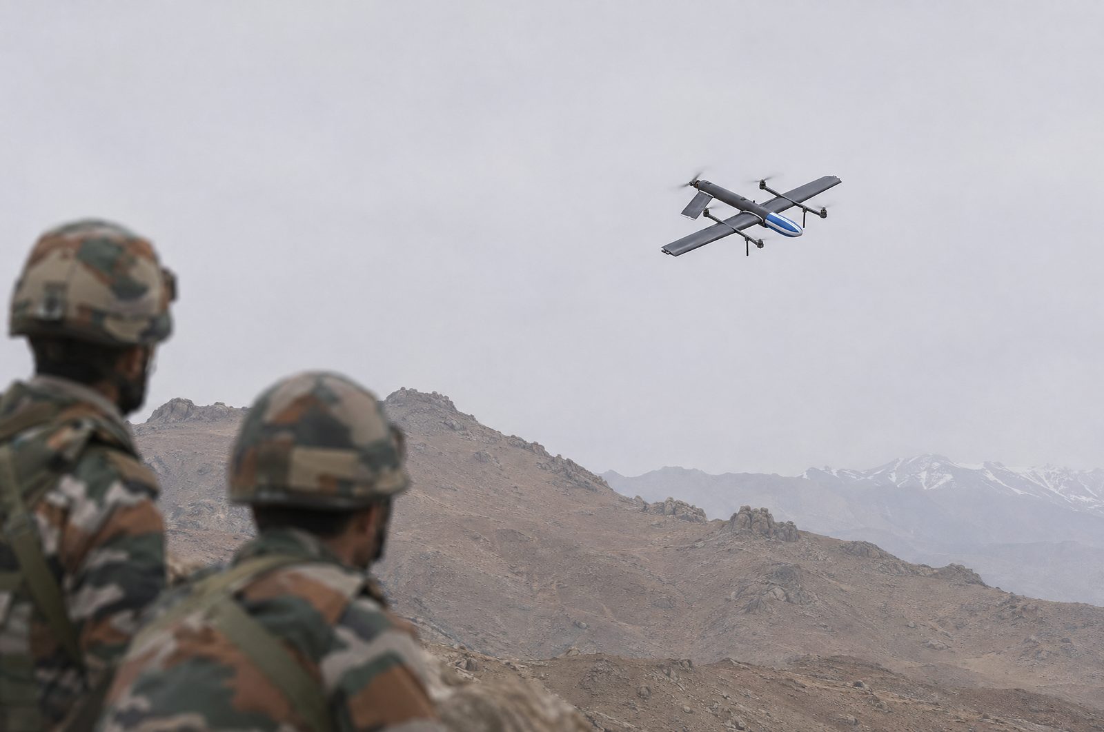
Flying without GPS: how drones navigate where GNSS is jammed
How military drones keep navigating when GPS is jammed or spoofed: multi-constellation GNSS with NavIC, inertial navigation, visual-inertial odometry and map matching.
Star INXS engineering team7 min read
Near borders and in electronic-warfare zones, satellite navigation signals are often jammed or spoofed. A drone that depends on GPS alone may drift, fly the wrong way or fail to come home. This explainer sets out the layers of navigation that keep a drone on track, and what to ask suppliers.
Why do drones lose GPS?
Jamming: strong interference on satellite navigation frequencies drowns out the weak signals from space.
Spoofing: false signals make the receiver believe it is somewhere else.
Blockage: deep valleys and dense urban canyons hide much of the sky.
Near borders, all three can happen. A drone needs a way to keep navigating that does not depend on satellites.
What are the layers of drone navigation?
Layer
How it works
Strength
Limit
Multi-constellation GNSS
Receives several satellite systems: GPS, NavIC and GLONASS
Accurate when signals are clean; more satellites to use
All can be jammed or spoofed together
Inertial navigation (INS)
Accelerometers and gyros measure motion from a known start
Needs no outside signal, so it cannot be jammed
Small errors build up over time
Optical flow
A camera tracks how the ground moves beneath the drone
Bridges short gaps in GNSS
Needs visible ground texture
Visual-inertial odometry (VIO)
Fuses camera images with IMU data to estimate position and orientation
Works without satellites
Needs a clear view of the ground
Map matching
Matches camera frames to geo-referenced satellite maps
Gives position fixes with no satellites at all
Needs map imagery of the area
No single layer is enough on its own. A well-designed drone fuses them, so that when one fails the others carry on. See the glossary for INS, VIO and other terms.
How does visual navigation work on Star INXS drones?
Match. Each frame is matched to geo-referenced satellite maps.
Fuse. The fixes are fused with IMU data for a stable estimate.
Fly. The position goes to the autopilot's EKF over MAVLink, as an external vision source for ArduPilot or PX4, with no custom flight-controller firmware.
In proof-of-concept tests it held a 2.2 m median error over a ~1.4 km corridor, and under 10 m at the 90th percentile. In a flight demonstration it flew 2.7 km and four waypoints at 145 m above ground with no GPS in the loop, with a 5.8 m median agreement against the logged GPS track. The target is under 150 g and under 12 W of added load on the aircraft.
Which Star INXS drones are built for jammed areas?
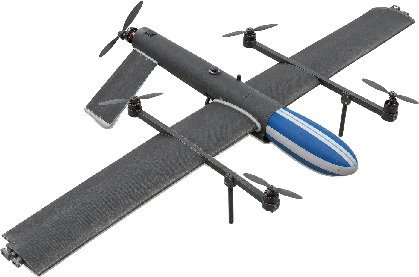
[Hybrid VTOL](/drones/vtol/hybrid-vtol): GPS, NavIC and GLONASS with INS and visual-inertial backup, an FHSS radio with AES-128 / AES-256 encryption, and return-to-home and parachute recovery.
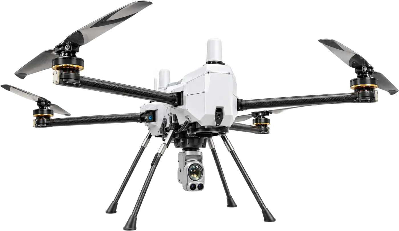
[MQ-JR](/drones/multicopter/mq-jr): a quick-deploy ISR quadcopter designed to be jammer-resistant, with an AES-256 encrypted link. Anti-jam details are shared with authorised users on request.
[Ground Control & Datalink](/drones/ground-control): an FHSS anti-jam radio with a 5–30 km link, and optical-flow sensor fusion for continuity when GPS is denied.
Don't forget the link
A drone that knows where it is still needs to hear its operator and send back video. A frequency-hopping (FHSS) radio hops frequencies to ride through interference, and encryption (AES-128 or AES-256) protects telemetry and video from being read.
As a last line of defence, return-to-home and parachute recovery bring the aircraft back or down safely when both navigation and link are under attack.
Questions to ask suppliers
Which satellite systems does the receiver use, and is NavIC one of them?
What takes over when GNSS fails: INS, VIO, optical flow, map matching?
What accuracy has been measured without GNSS, over what distance, and how was it measured?
Does the backup work with your autopilot without custom firmware?
How does the command and video link resist jamming, and how is it encrypted?
What does the aircraft do when navigation or link is lost?